 Tel.:
 Sales@alphageo-info.com



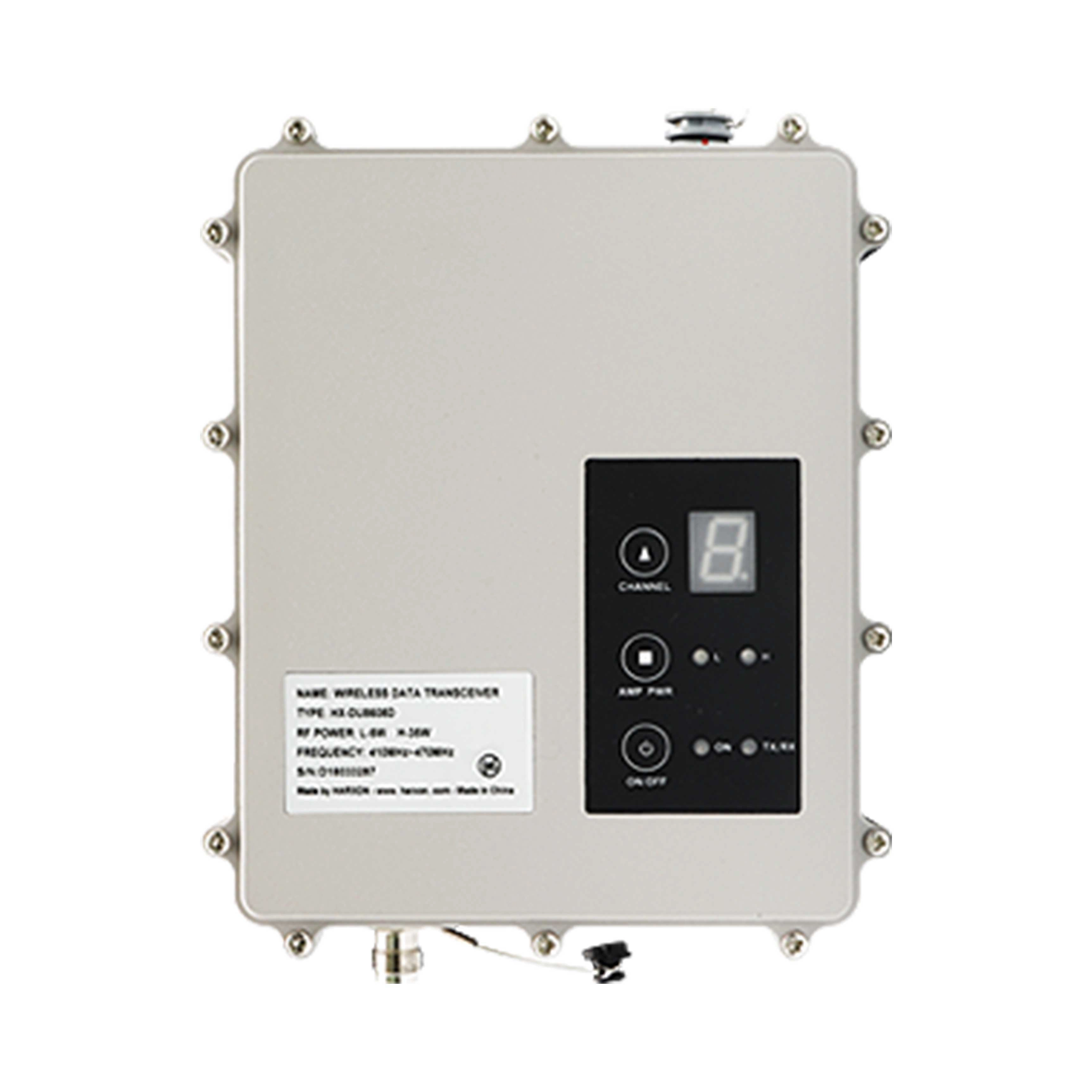
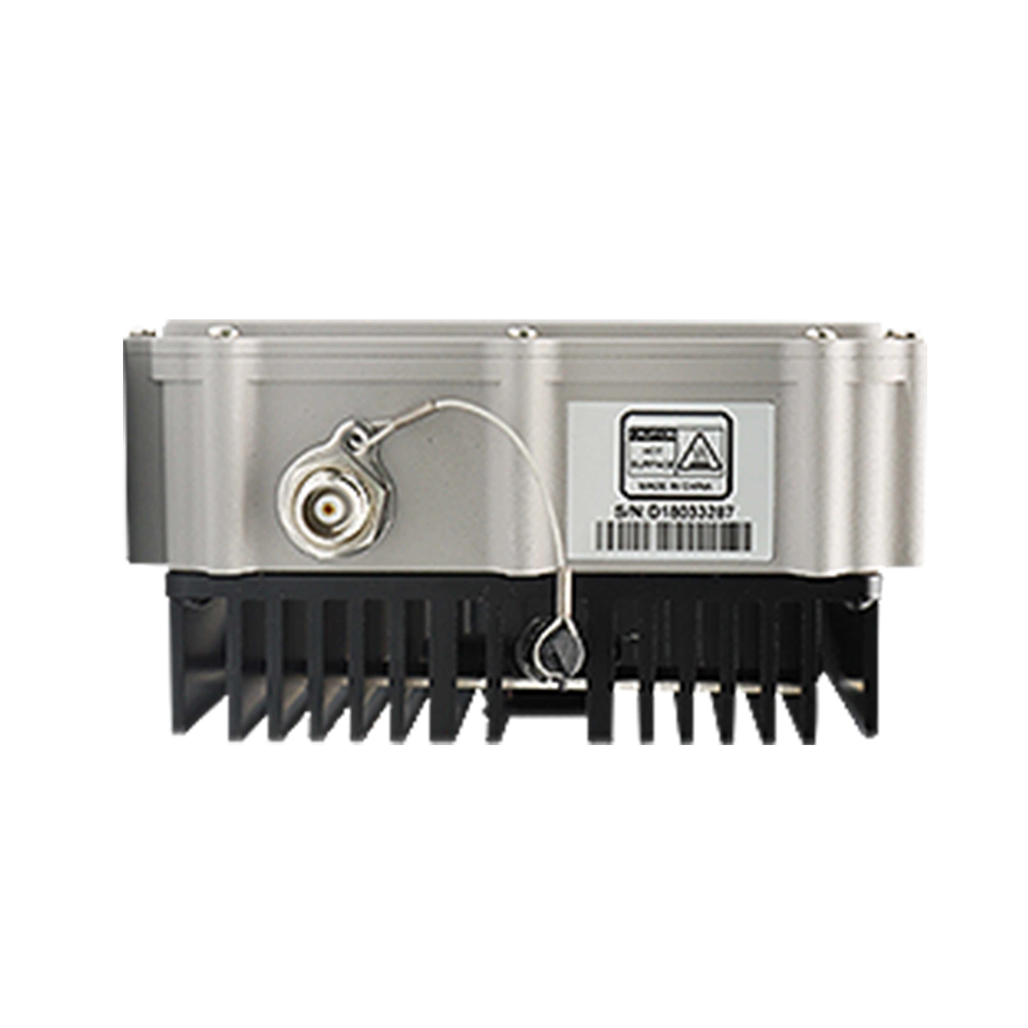
Professional GNSS RTK Data Link for Surveying — High-Reliability UHF Radio Communication Module
When precision is non-negotiable and field conditions are unforgiving, professionals demand a GNSS RTK data link for surveying that performs without compromise. This high-performance UHF radio communication module is purpose-built to maintain a stable, low-latency correction data link between your RTK base station and rover receiver — delivering the centimeter-level accuracy that modern land surveying, construction layout, and geospatial mapping workflows depend on. Engineered to meet the rigorous demands of professional surveyors worldwide, this data link module combines robust signal transmission, interference resistance, and field-hardened durability into a single, dependable solution you can trust on every job site.
Engineered for Uncompromising Signal Reliability in the Field
A GNSS RTK system is only as reliable as the data link connecting its components. Signal dropout, latency spikes, or interference-induced errors can corrupt positioning data and compromise the integrity of an entire survey. This module is designed from the ground up to eliminate those risks, giving field teams the confidence to work efficiently without second-guessing their data.
Extended Transmission Range with Stable Link Integrity
The module operates across a wide UHF frequency band, delivering consistent correction data transmission over extended baselines. Whether you are working across open terrain, undulating topography, or partially obstructed environments, the radio link maintains stable throughput to keep your rover locked onto a fixed RTK solution. Reduced re-initialization time means less downtime and more productive field hours on every project.
Advanced Interference Mitigation for Clean Data Transmission
Modern survey environments are increasingly congested with competing radio signals. This data link module incorporates frequency-hopping and channel-selection capabilities that actively avoid interference from other radio sources. The result is a clean, uninterrupted correction stream that protects the accuracy of your GNSS RTK positioning data — even in urban construction zones or areas with dense radio traffic.
Ruggedized Hardware Built for Demanding Outdoor Conditions
Field equipment must endure dust, moisture, vibration, and temperature extremes. This module is housed in a durable, impact-resistant enclosure rated for professional outdoor use, ensuring consistent performance whether you are surveying under the summer sun, in coastal humidity, or across dusty construction sites. The robust antenna connector and sealed port design further protect internal components from environmental ingress, extending the operational lifespan of your investment.
Professional-Grade Performance That Protects Your Survey Data Integrity
For licensed surveyors and geospatial professionals, data integrity is a legal and professional responsibility. A failed or degraded data link does not just slow down a project — it can introduce errors that compromise deliverables and client trust. This GNSS RTK communication module is built to the performance standards that professional survey-grade workflows demand.
Low-Latency Correction Data for Real-Time Centimeter Accuracy
The module is optimized for minimal transmission latency, ensuring that RTCM or CMR correction messages arrive at the rover receiver in real time. This low-latency performance is critical for dynamic RTK applications such as machine control, stake-out, and topographic surveying where the rover is in constant motion and positioning accuracy must be maintained continuously without lag-induced drift.
Broad Compatibility with Industry-Standard RTK Systems
Designed to integrate seamlessly with leading GNSS receiver platforms, this data link module supports standard correction data protocols including RTCM 2.x, RTCM 3.x, and CMR/CMR+. Whether you are operating a single base-rover pair or managing a multi-rover survey crew, the module's compatibility with industry-standard interfaces ensures straightforward integration into your existing equipment workflow without costly system modifications.
Simplified Field Configuration for Operational Efficiency
Complex configuration procedures waste valuable field time. This module features an intuitive setup interface that allows technicians to configure frequency channels, baud rates, and transmission power quickly and accurately. Clear status indicators provide immediate feedback on link quality and transmission status, enabling field teams to verify system health at a glance before commencing survey operations.
Built for Peace of Mind — A Zero-Risk Investment in Survey Accuracy
Choosing the right GNSS RTK data link for surveying is a decision that directly impacts the quality, efficiency, and professional credibility of every project you deliver. This module represents a carefully engineered balance of transmission performance, hardware durability, and operational simplicity — designed to remove uncertainty from your RTK communication chain and give you complete confidence in your positioning data from the first observation to the final deliverable.
Backed by rigorous quality control standards and designed to the specifications that professional survey-grade applications demand, this data link module is the dependable communication backbone your RTK system needs. Invest in a solution that protects your data, your reputation, and your productivity — every single day in the field.
Product Images


If you have another questions, please feel free to contact us.
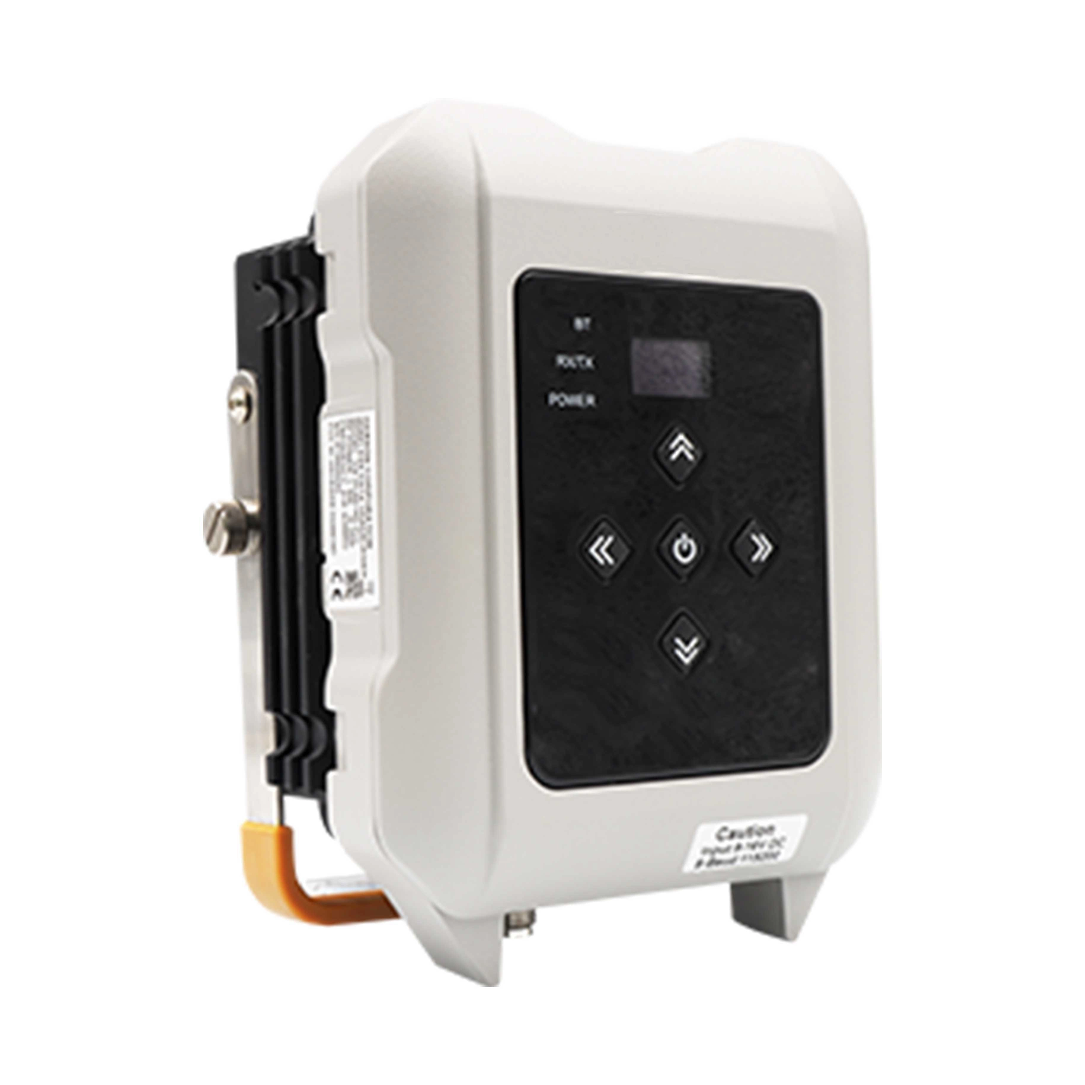
HX-DU8602T is a high-speed, high-power, wireless data link built to survive the rigors of GNSS/RTK surveying and precise positioning. This radio’s 25W of power maximizes range, enabling you to work in difficult urban areas. The HX-DU8602T is equipped with a digital tube, LED, and keypad, used to indicate the current operating status, as well as for changing the operating channel and power level of the radio modem. For the most rugged and reliable long-range data link, go with the geomatics industry’s new standard in wireless communications, the HX-DU8602T.
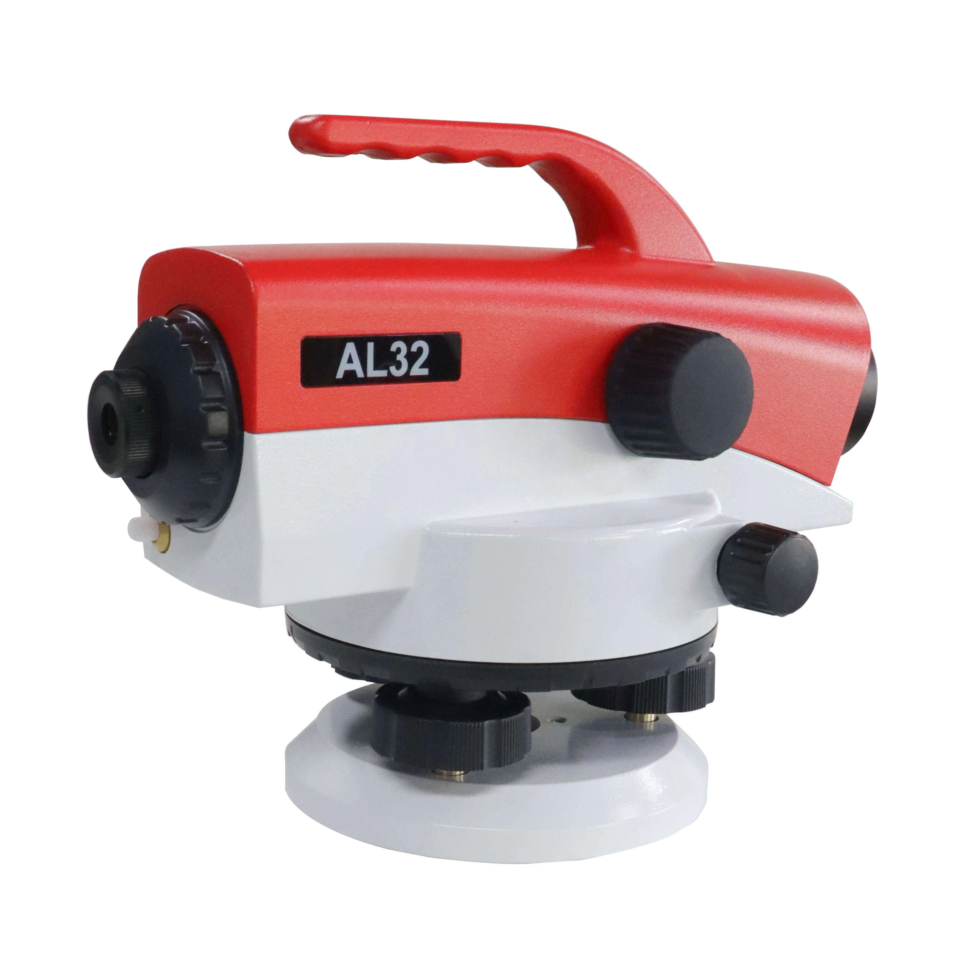
The ALPHA AL32 automatic level can be used for 3rd or 4th order leveling,building constructions and normal leveling surveying applications.The automatic compensator, which adopts crossed suspension tapes and an air damper, greatly improves the work efficiency and leveling accuracy. The AL32 is also equipped with a press button for compensator checking. The metal body design provides better protection.
α-GEO, founded in 2008, is a global market-leading high-tech company focusing on high-precision GNSS technology.
alphageognss
alphageo
alphageoinfo