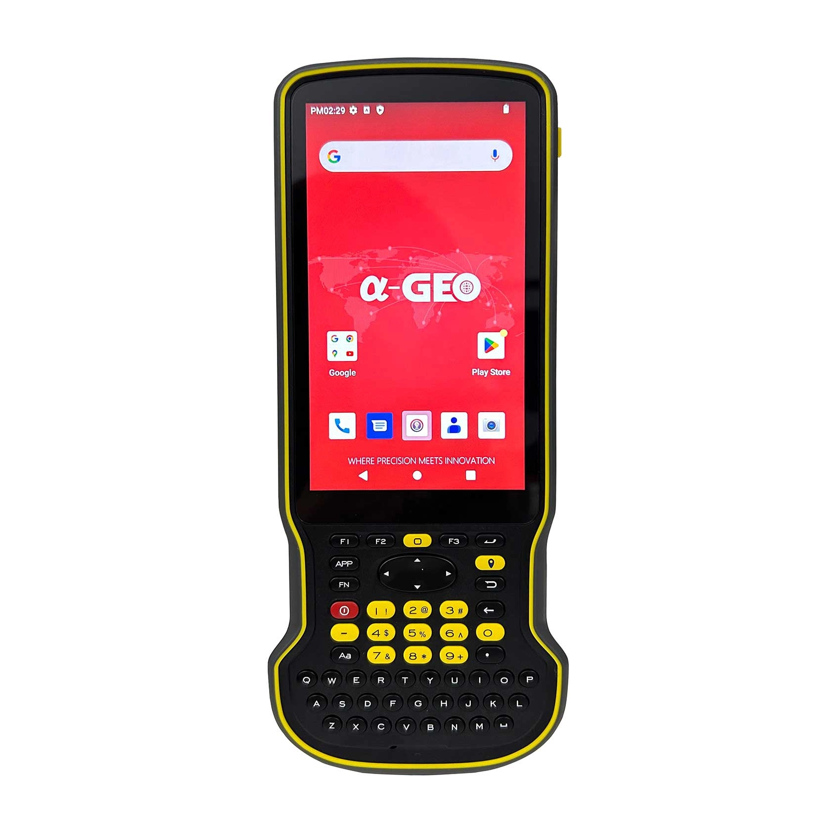
A-Tab-2 - alphageo
A-Tab-1 - alphageo
A-Tab-3 - alphageo
A-Tab-4 - alphageo

A-Tab

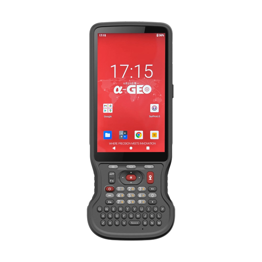
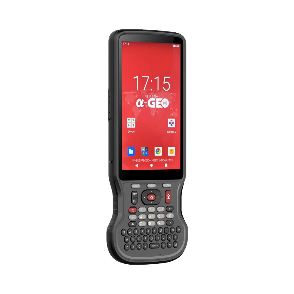
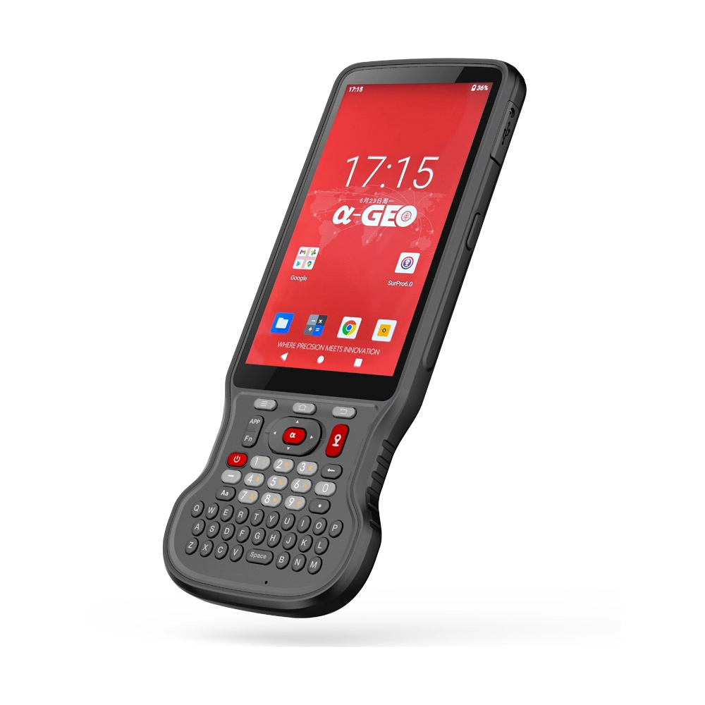
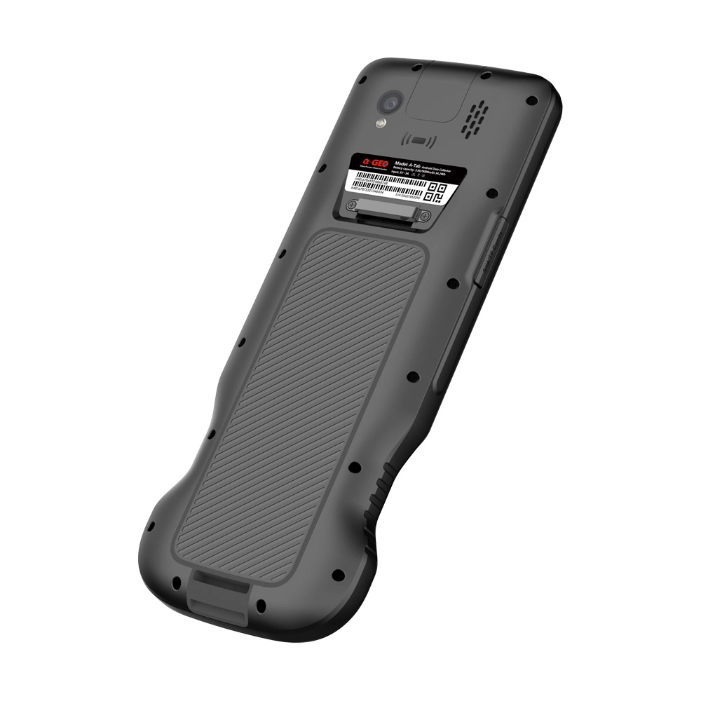
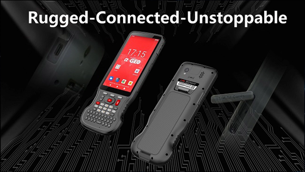
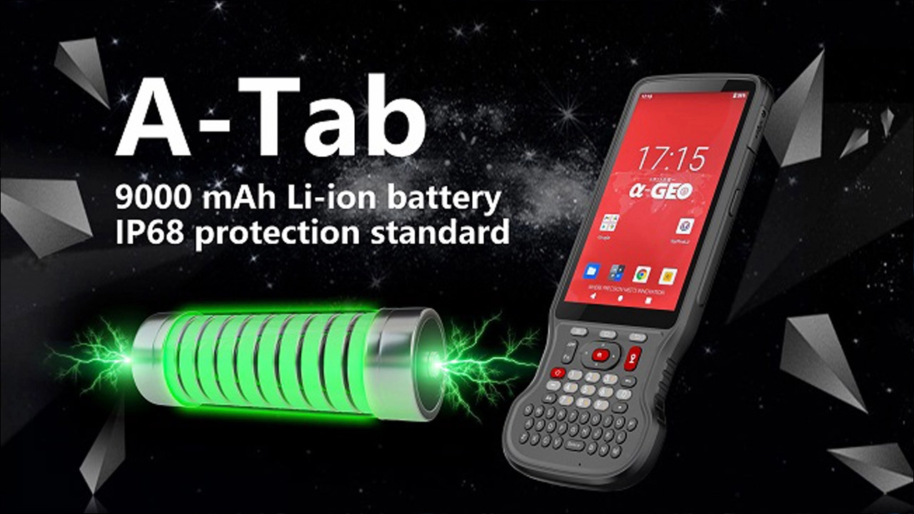
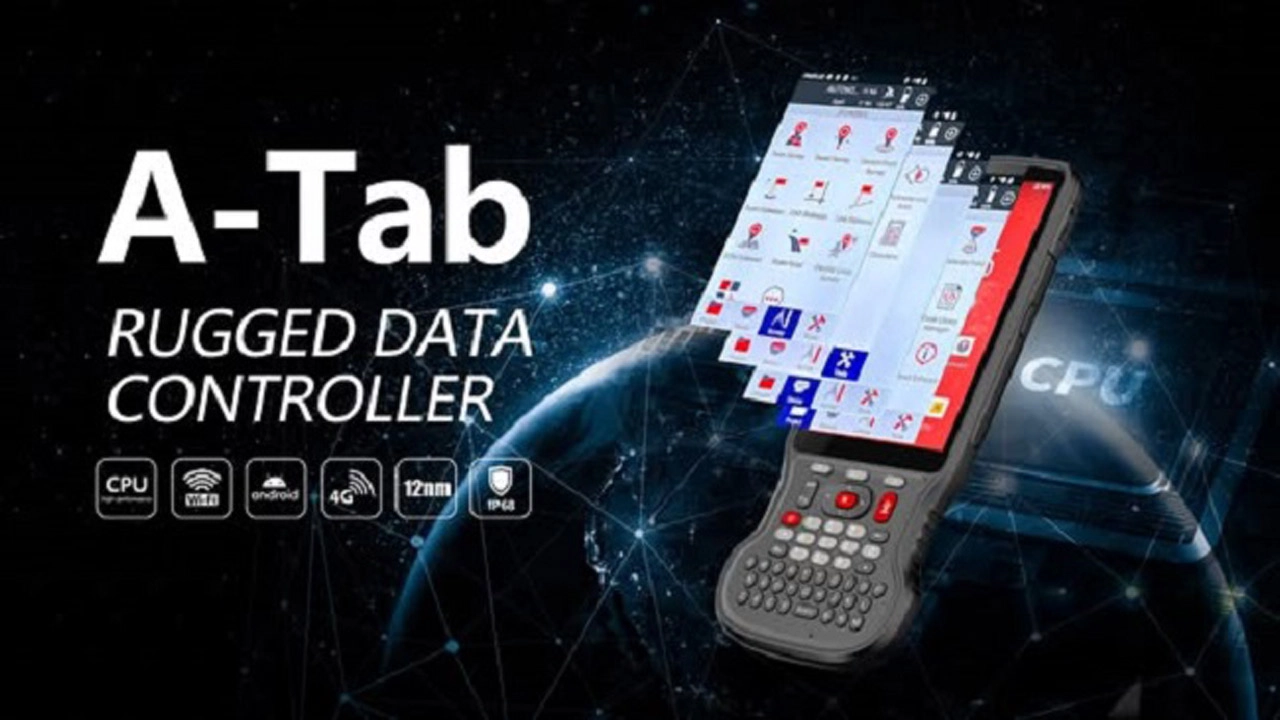
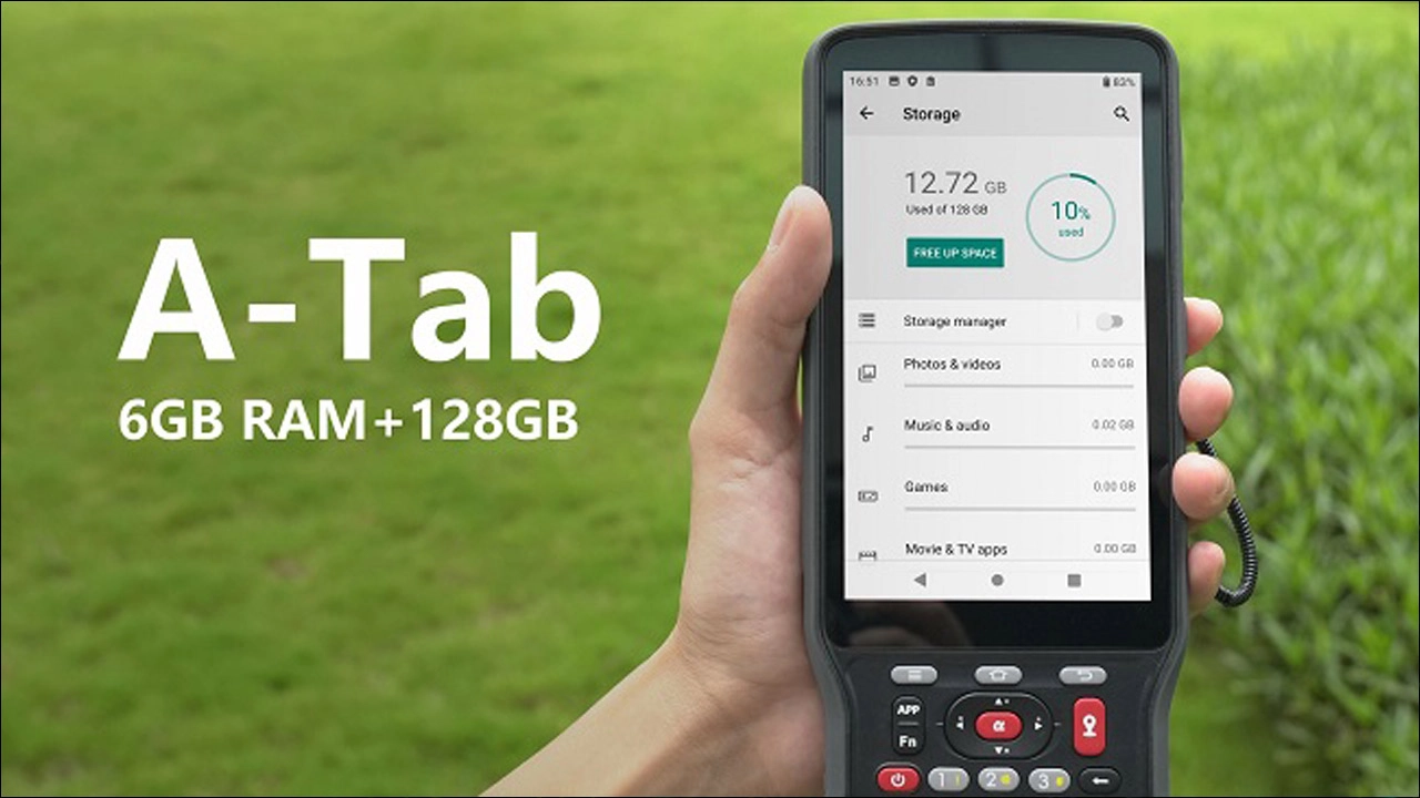
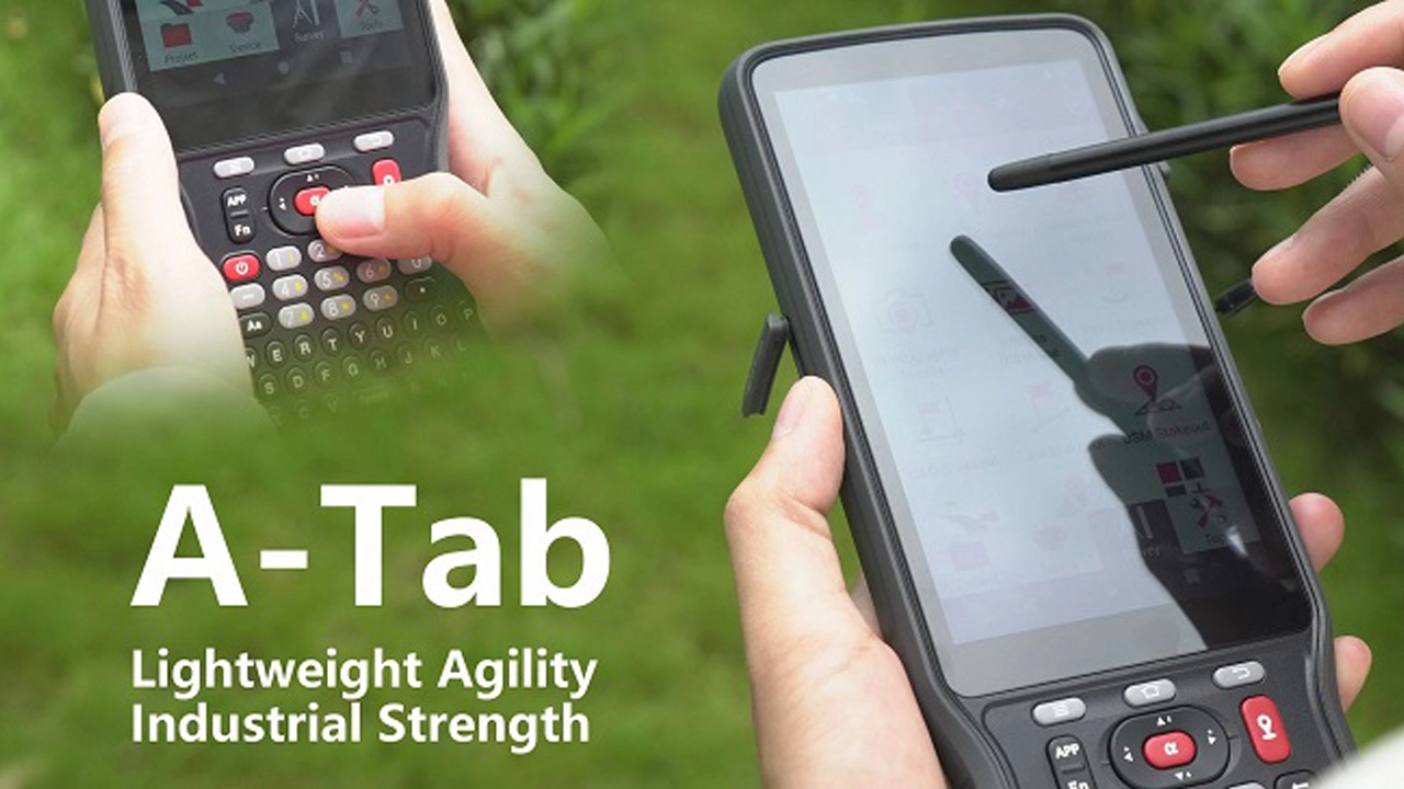
A-Tab Slim Field Data Collector with 5.5" Display

A-Tab, a new data collector of ALPHAGEO, features the latest industrial-grade processor and is designed for field measurements and mapping operations with its slim form factor and a standard English keyboard. The 5.5-inch, 550-nit brightness display utilizes Gorilla Glass, enhancing durability while offering exceptional sunlight readability.

Inquire Now
A-Tab Brochure 20260415.pdf

A-Tab Brochure 20260415

Feature
Feature
Product Showcase
Product Showcase
Specifications
Specifications
Applications
Applications
Get free a Quote
Dual Operating Modes - alphageo
Dual Operating Modes for Measurement
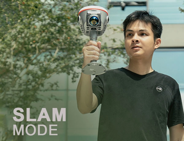
▸ SLAM Mode: Handheld scanner design, suitable for GNSS-denied environments such as tunnels, underground spaces, and buildings. Equipped with dual cameras for 360° panoramic scanning, generating high-fidelity true-color point clouds and supporting data acquisition in dynamic environments.

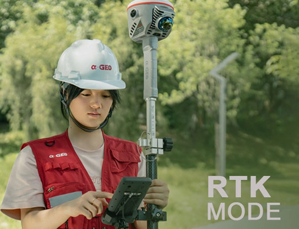
▸ RTK Mode: Used with a centering pole, achieving centimeter-level positioning accuracy in open-sky environments. Retains the precision of traditional surveying while outputting real-time point clouds, ideal for ground feature collection.
Multi-Technology Integrated Data Acquisition - alphageo
Multi-Technology Integrated Data Acquisition
▸ Integrates GNSS, high-precision vision modules, and LiDAR systems, fusing SLAM and high-accuracy RTK technologies to establish a unified coordinate system for indoor and outdoor environments.

▸ Features multi-sensor fusion (GNSS/IMU/LiDAR/vision) combined with Kalman filter-based trajectory optimization, maintaining ≤5cm positioning accuracy within 50 meters even in GNSS-challenged scenarios.
Non-Contact High-Precision Scanning - alphageo
Non-Contact High-Precision Scanning
▸ Adopts active laser scanning technology with a sampling rate of 200,000 points per second. Measurement range: 0.1m-40m (10% reflectivity) and 0.1m-70m (80% reflectivity), adaptable to different surface materials.

▸ Supports real-time point cloud coordinate output and post-processing optimization. Point cloud absolute accuracy: ≤6cm (outdoor RTK environment), ≤5cm (indoor environment); point cloud thickness: ≤3cm.
Full-Scene Communication and Positioning Guarantee  - alphageo
Full-Scene Communication and Positioning Guarantee
▸ Multi-mode communication architecture: Supports 4G cellular networks, UHF radio, Wi-Fi, and Bluetooth 5.2, meeting needs for wide-area coverage, long-distance communication, and local fast data transmission.

▸ 1408-channel full-constellation and full-frequency-band tracking (GPS/GLONASS/Beidou, etc.), compatible with RTCM2x/RTCM3x differential data formats. Anti-jamming technology ensures stable positioning in complex environments.
Visualization and Navigation Assistance  - alphageo
Visualization and Navigation Assistance
▸Dual 48MP panoramic lenses with 190° FOV, generating HDR true-color point clouds to restore scene details. 5MP AR navigation camera provides centimeter-level real-time on-site positioning guidance.

▸ 1.3-inch industrial-grade HD display (240×240px) clearly shows key data such as scanning time, distance, storage capacity, and GNSS solution results even under direct sunlight.
Data Storage and Environmental Adaptability
▸ 256GB built-in storage (expandable up to 512GB), supporting las-format point cloud storage. Data can be directly used for engineering design without post-processing.

▸ Magnesium alloy body with IP67 dustproof and waterproof rating. Operating temperature: -20℃~+50℃; storage temperature: -40℃~+80℃, suitable for harsh field environments.
Efficient Battery Life and Easy Operation  - alphageo
Efficient Battery Life and Easy Operation
▸ 14.4V lithium battery (47.52Wh): 180 minutes of battery life in SLAM mode, approximately 8 hours in RTK mode (with mobile network), and 2-hour fast charging.

▸ Lightweight design (only 1.8kg) with tilt compensation (0~120°), maintaining ≤2.5cm accuracy in tilted states

DUAL

OPERATING MODES

RTK  MODE - alphageo
RTK
Mode
SLAM MODE - alphageo
SLAM
Mode

Point Cloud absolute accuracy

Falcon X - alphageo
≤6 cm
Outdoor
Falcon X - alphageo
≤5 cm
Indoor

Ultra-High 
Sampling Efficiency

200,000

Points/Second

Wide Measuring Range

10%

In Reflectivity Scene
Measuring Range Coverage

0.1m-40 m

80%

In Reflectivity Scene
Measuring Range Extended to

0.1m- 70m

Full Constellation & Full Frequency Band

1408

Channels

A Multi-mode Communication Architecture

• 4G

Networks

• UHF

Radio

• Wi-Fi
• Bluetooth

HDR True-Color

Point Clouds Meet AR Navigation

48

MP

Panoramic Lens

360°

All-Round Imaging

5

MP

Visual Layout Camera

Multi-Dimensional Data at a Glance

1.3

Inch 

Industrial-Grade HD Display

240x240

PX

Resolution

Software

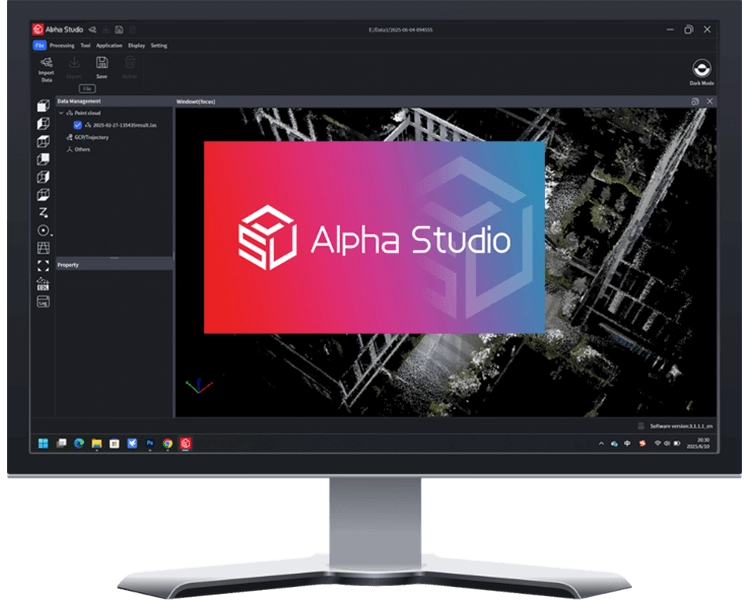
Alpha Studio - alphageo
PC
Alpha Studio
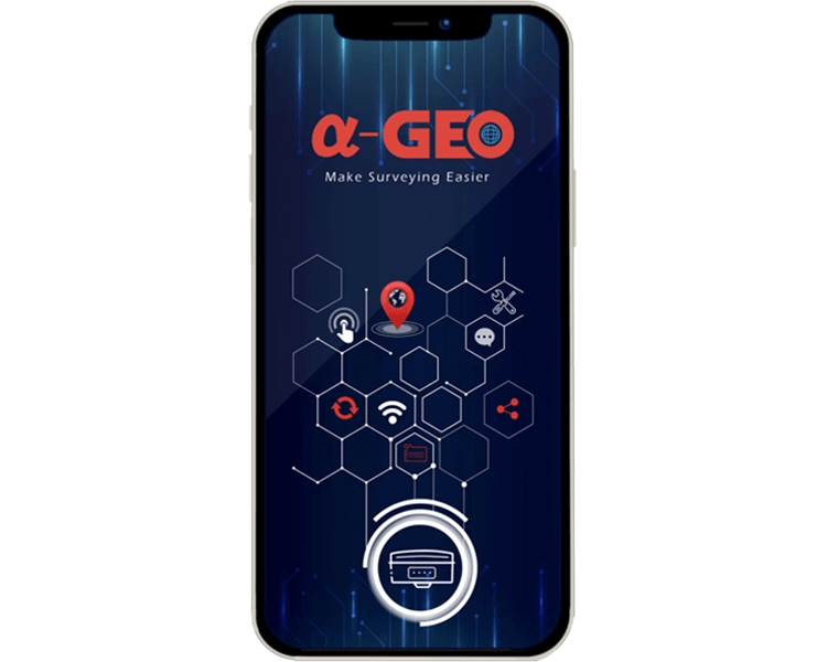
SurPro6.0 - alphageo
APP
SurPro6.0
A-Tab-13 - alphageo
A-Tab-14 - alphageo
A-Tab-12 - alphageo
A-Tab-15 - alphageo
A-Tab-16 - alphageo
A-Tab-11 - alphageo

Product Showcase

A-Tab-3 - alphageo
Front
A-Tab-1 - alphageo
A-Tab-2 - alphageo
A-Tab-4 - alphageo

Specifications

System

Operating system Android 14 (GMS supports)
Online update FOTA update
CPU MediaTek MT6769 Ota-core 2.0 GHz
RAM 6GB
Flash memory 128GB eMM
 Extendable memor MicroSDHC up to 512GB

Software Information

Operation platform Android
Function

Topography survey, Point/Line stake out,

COGO, CAD, Localization and site
calibration, Offset, Area, Parameter
calculation, Line Extend, etc.

Data Format CSV, DXF, Text, shapefile, Json, etc.

Physical

Dimensions (LxWxH) 226.3mmx90.6mmx16.9mm
Weight
Weight 436g with battery
Operating temperature -25℃~+65℃
Storage temperature -40℃~+70℃
Waterproof/Dustproof IP68
Shock and vibration 1.8m fall onto non-concrete
Humidity 5% ~ 95% non-condensing
Display 5.5-inch, 1920x1080 pixels HD,
550nit brightness
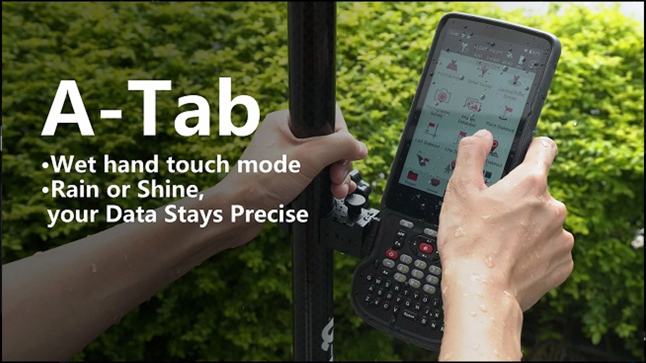
Touch screen Capacitive multi-touch, supports stylus
and gloves mode, wet touch mode
Keypad QWERT key
 Camera 13 MP with auto-focus and flash

Sensors

GNSS GNSS (BDS, GPS, GLONASS),
A-GPS supports
G-Sensor Supports
Gyroscope Supports
E-Compass Supports
 Accelerometer Supports
 Light sensor Supports
 Microphone Supports
Electrical
Battery Magnesium alloy
Battery life >22 hrs
Charging time <14 hrs (typical)

Standard accessories

A/C charger Yes
USB cable Yes
Stylus    Yes
Handstrap <Yes

Communications

  GSM: 850/900/1800/1900
WCDMA: B1/B2/B4/B5/B8
Cellular network LTE-TDD: B34/B38/B39/B40/B41
LTE-FDD: B1/B2/B3/B4/B5/B7/B8/B12
B13/B17/B20/B25/B26/B28/B66
SIM card type Dual Nano-SIM card
 WiFi 802.11a/b/g/n/ac (Dual Band 2.4 & 5GHz)
Bluetooth BT5.0
USB Type-C USB 2.0
NFC Supports
Certifications
CE Yes
FCC Yes
BMSDS
Yes
Software Information
Operation Platform Android
Function Topography survey, Point/Line stake out, COGO, CAD, Localization and site calibration, Offset, Area, Parameter
Data Format CSV, DXF, Text, shapefile, Json, etc.

Hot Tags

How can we help you

You can contact us any way that is convenient for you. We are available 24/7 via email or telephone.

Need help?

New Products

Smart laser AR RTK Matrix II for any surveying project 1 - alphageo
Matrix II Laser AR RTK for All Survey Projects (non-UHF version)
Read More
Matrix II Laser AR RTK for All Survey Projects (non-UHF version)
Functional GNSS Matrix III receiver merges Long-range laser+AR 1 - alphageo
GNSS Matrix III Integrates Long-Range Laser + AR (non-UHF version)
Read More
GNSS Matrix III Integrates Long-Range Laser + AR (non-UHF version)
Falcon X -4 - alphageo
RTK & Slam Hybrid Measuring System (non-UHF version)
Read More
RTK & Slam Hybrid Measuring System (non-UHF version)
alphageo total station - alphageo
High-Precision Digital Level
Read More
High-Precision Digital Level
官网首图 - alphageo
Multi-Function Pipeline Detector
Read More
Multi-Function Pipeline Detector

Hot Tags

Related Products

Rugged RTK data collector S60III for field measurements and mapping operations 1 - alphageo
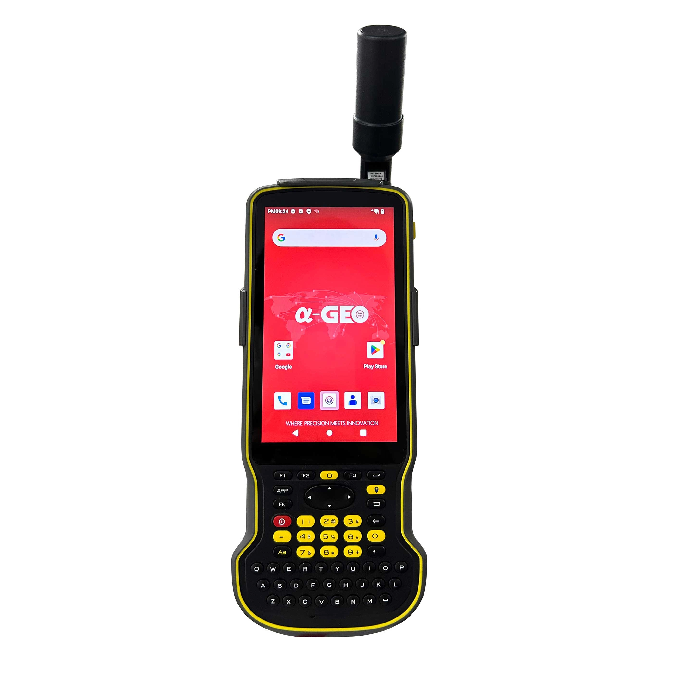
S60III
Rugged RTK Data Collector
Falcon X -4 - alphageo
Falcon X
RTK & Slam Hybrid Measuring System
Super Base GNSS Receiver Matrix Ultra 1 - alphageo
Matrix Ultra
Super Base GNSS Receiver
Brand new functional GNSS Matrix VI receiver merges Visual , AR and Laser 1 - alphageo
Matrix VI
New GNSS Matrix VI integrates Visual, AR & Laser

Get a free quote in 24h

Follow us now:

Name must not exceed 100 characters.
Invalid email format or length exceeds 100 characters. Please re-enter.
Please enter a valid phone number!
Company Name must not exceed 100 characters.
Content must not exceed 3000 characters.

Rest assured that your privacy is important to us, and all information provided will be handled with the utmost confidentiality.

By clicking "Submit now," I agree to your processing of my personal data.
To see how to withdraw your consent, how to control your personal data, and how we process it, please see our Privacy Policy and Terms of Use.

Contact customer service

Leave me a message

Are you looking for a reliable and experienced partner to meet your needs? Join us.

×
Name must not exceed 100 characters.
Invalid email format or length exceeds 100 characters. Please re-enter.
Please enter a valid phone number!
Company Name must not exceed 100 characters.
Content must not exceed 3000 characters.

Get a free quote

If you're interested in our products and want to get the best price, please leave us a message. Our professional team will respond within 24 hours.

×
Name must not exceed 100 characters.
Invalid email format or length exceeds 100 characters. Please re-enter.
Please enter a valid phone number!
Company Name must not exceed 100 characters.
Content must not exceed 3000 characters.